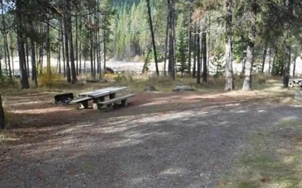
Photo: USFS
Site map
15 campsites at their real positions, from the agency's own site coordinates.
- Campsite
- Loop, in site-number order
Loading map…
About this campground
East Lemolo is on the banks of Lemolo Lake, the highest reservoir on the North Umpqua River at an elevation of 4,150 feet.
Sites and hookups
- Campsites
- 15
- Max RV length
- 25 ft
- Pull-through sites
- 3
- Pets
- Allowed
- Campfires
- Allowed
- Booking
- Reservable on Recreation.gov
RV parks near East Lemolo Campground
Nearest first, within 25 miles. Hookups are what each park lists.
More federal campgrounds nearby
- Inlet Campground0.4 mi · Forest Service13 sites · RVs to 25 ft · 3 pull-through
- Bunker Hill Campground1.4 mi · Forest Service5 sites · RVs to 25 ft · 1 pull-through · Waterfront sites
- Poole Creek1.9 mi · Forest Service61 sites · RVs to 45 ft · 23 pull-through · Waterfront sites
- Kelsay Valley Horse Camp3.3 mi · Forest Service16 sites · RVs to 25 ft · 6 pull-through
- Timpanogas7.5 mi · Forest Service
- Thielsen View Campground9.8 mi · Forest Service61 sites · RVs to 40 ft · 1 pull-through
- Diamond Lake10.6 mi · Forest Service239 sites · RVs to 70+ ft · 26 pull-through · Waterfront sites
- Broken Arrow Campground12.3 mi · Forest Service269 sites · RVs to 70+ ft · 5 pull-through
Public recreation nearby
Trailheads, access points and public lands within 25 miles.
Data Source: Recreation.gov


