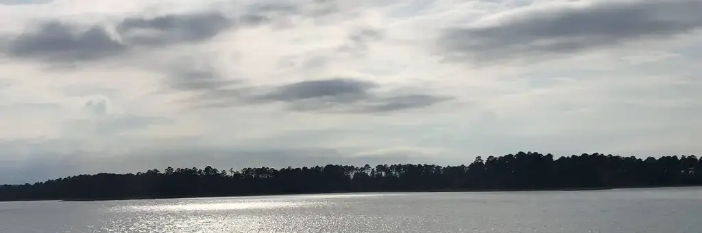
Photo: USACE
Site map
87 campsites at their real positions, from the agency's own site coordinates.
- Electric site
- Other site
- Loop, in site-number order
Loading map…
About this campground
Arlie Moore Campground sits on the northern banks of DeGray Lake in the foothills of the Quachita Mountains.
Sites and hookups
- Campsites
- 87
- Sites by type
- 19 tent, 30 RV
- Electric hookups
- 87 sites, up to 50 amp
- Water hookups
- 87
- Max RV length
- 60 ft
- Waterfront sites
- 31
- Accessible sites
- 1
- Pets
- Allowed
- Campfires
- Allowed
- Booking
- Reservable on Recreation.gov
Amenities
- Showers
- Flush toilets
- Playground
RV parks near Arlie Moore
Nearest first, within 25 miles. Hookups are what each park lists.
 Young's Lakeshore RV Resort15.1 mi · Hot Springs, AR
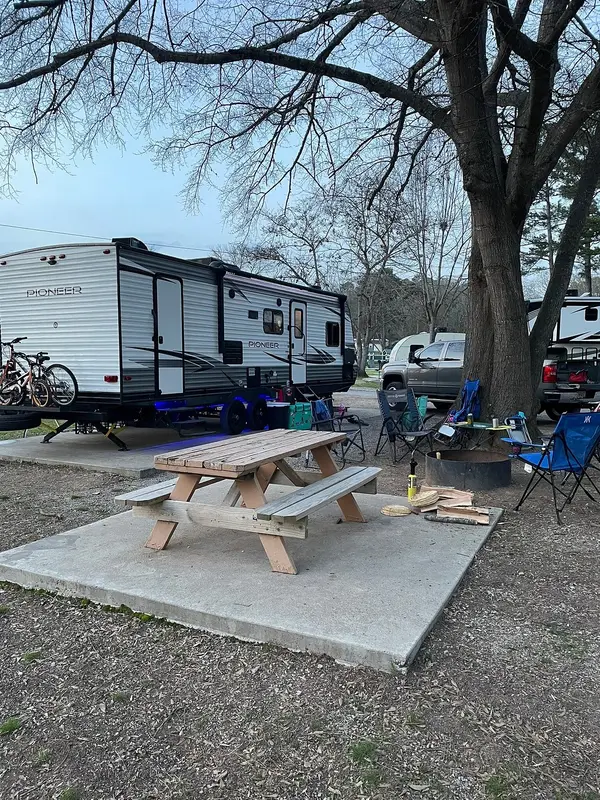 Treasure Isle RV Park16.6 mi · Hot Springs, AR
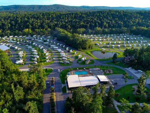 Catherine's Landing, an RVC Outdoor Destination16.6 mi · Hot Springs, AR
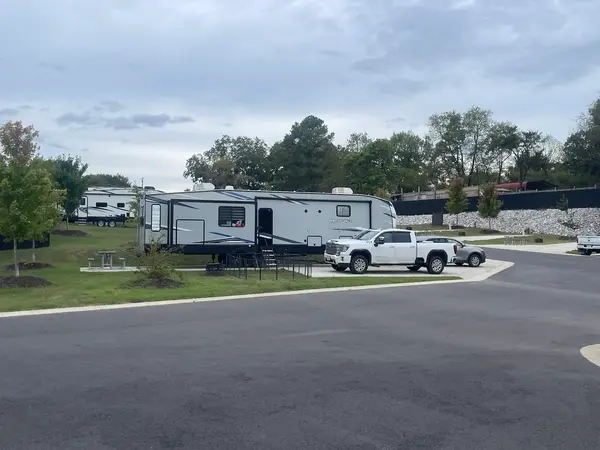 Finish Line RV Park16.7 mi · Hot Springs, AR
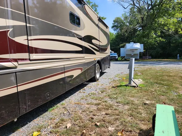 J & J RV Park & Storage19.7 mi · Hot Springs, AR
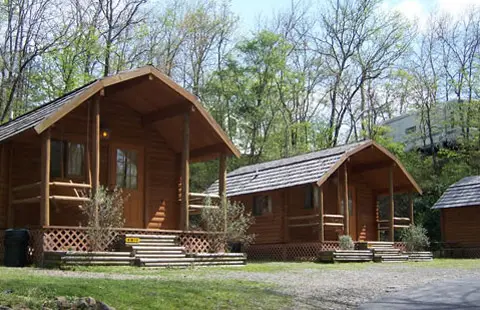 Hot Springs National Park KOA Holiday19.8 mi · Hot Springs, AR
More federal campgrounds nearby
- Caddo Drive1.2 mi · Army Corps72 sites · 50 amp electric · RVs to 58 ft · 8 pull-through
- Edgewood1.6 mi · Army Corps50 sites · 50 amp electric · RVs to 70+ ft · 2 pull-through
- Alpine Ridge1.6 mi · Army Corps49 sites · 50 amp electric · RVs to 65 ft
- Shouse Ford3.8 mi · Army Corps100 sites · 50 amp electric · RVs to 70+ ft
- Iron Mountain5.3 mi · Army Corps69 sites · 50 amp electric · RVs to 70+ ft · 3 pull-through
- Charlton Recreation Area19.7 mi · Forest Service48 sites · 50 amp electric · RVs to 70+ ft
- Gulpha Gorge Campground19.9 mi · National Park Service44 sites · 44 full hookup · RVs to 60 ft
- Crystal Springs20.6 mi · Army Corps75 sites · 1 full hookup · RVs to 60 ft · 7 pull-through · Waterfront sites
Public recreation nearby
Trailheads, access points and public lands within 25 miles.
- Degray LakePublic land · 7 mi to center · Army CorpsDetails
- Ouachita National ForestPublic land · 18.7 mi to center · Forest ServiceDetails
- Hot Springs National ParkPublic land · 19.2 mi to center · National Park ServiceDetails
- Lake OuachitaPublic land · 20.8 mi to center · Army CorpsDetails
- Little Fir LandingBoat ramp · 29.4 mi · Army Corps · Lake Ouachita
Data Source: Recreation.gov


