Deschutes National Forest
Candle Creek Campground
Campground10 sitesReservable
Site map
10 campsites at their real positions, from the agency's own site coordinates.
- Campsite
- Loop, in site-number order
Loading map…
About this campground
Candle Creek Campground sits at the confluence of the Metolius River and Candle Creek. It is at the end of the Metolius Valley and on the river where the rapids start. This unique location makes it a very popular spot among locals.
Sites and hookups
- Campsites
- 10
- Max RV length
- 18 ft
- Waterfront sites
- 5
- Pets
- Allowed
- Campfires
- Allowed
- Booking
- Reservable on Recreation.gov
Amenities
- Vault toilets
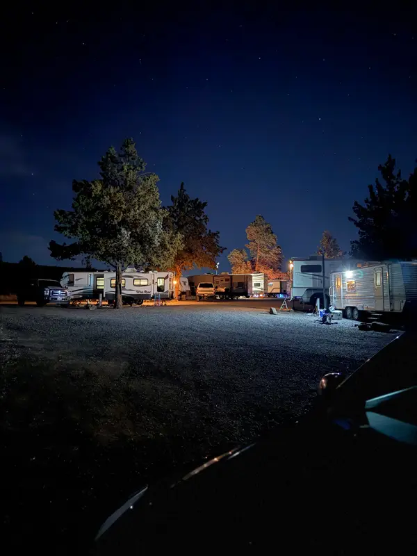
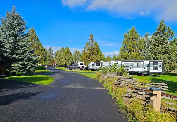
RV parks near Candle Creek Campground
Nearest first, within 25 miles. Hookups are what each park lists.
More federal campgrounds nearby
- Lower Bridge Campground1.4 mi · Forest Service12 sites · RVs to 30 ft · 2 pull-through · Waterfront sites
- Pioneer Ford Campground1.8 mi · Forest Service19 sites · RVs to 40 ft · 7 pull-through · Waterfront sites
- Sheep Springs Horse Camp2.5 mi · Forest Service11 sites · RVs to 50 ft
- Green Ridge Lookout3.1 mi · Forest Service
- Allen Springs Campground3.4 mi · Forest Service15 sites · RVs to 36 ft · 1 pull-through · Waterfront sites
- Lower Canyon Creek Campground5.3 mi · Forest Service7 sites · RVs to 40 ft · 4 pull-through · Waterfront sites
- Jack Creek Campground5.8 mi · Forest Service19 sites · RVs to 40 ft · 1 pull-through
- Smiling River Campground5.8 mi · Forest Service35 sites · RVs to 50 ft · 8 pull-through · Waterfront sites
Public recreation nearby
Trailheads, access points and public lands within 25 miles.
Data Source: Recreation.gov


