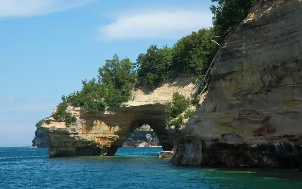
Pictured Rocks National Lakeshore
Pictured Rocks National Lakeshore Backcountry Camping Permit
Campground72 sitesReservable
Photo: NPS Photo
Site map
21 of 72 campsites at their real positions, from the agency's own site coordinates.
- Campsite
- Loop, in site-number order
Loading map…
About this campground
Pictured Rocks National Lakeshore hugs the Lake Superior shoreline for more than 40 miles along Michigan's northern coast. Lake Superior is the largest, deepest, coldest, and most pristine of all the Great Lakes.
Sites and hookups
- Campsites
- 72
- Sites by type
- 7 group, 1 boat-in
- Waterfront sites
- 60
- Campfires
- Allowed
- Booking
- Reservable on Recreation.gov
Amenities
- Vault toilets
RV parks near Pictured Rocks National Lakeshore Backcountry Camping Permit
Nearest first, within 25 miles. Hookups are what each park lists.
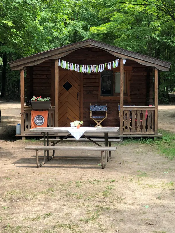
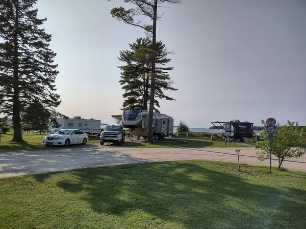
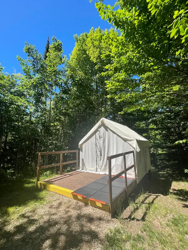
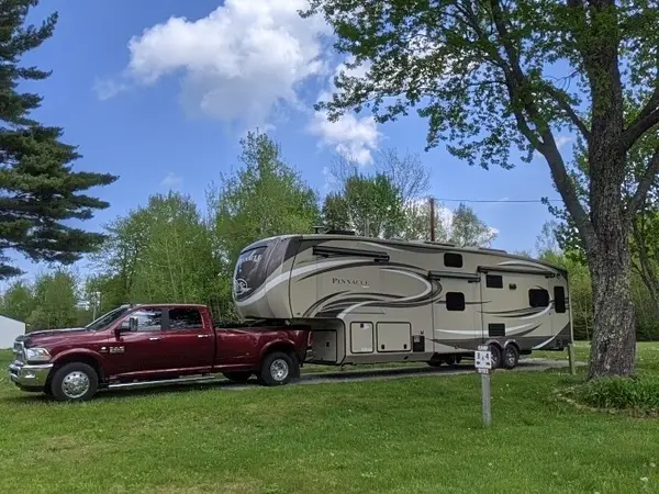
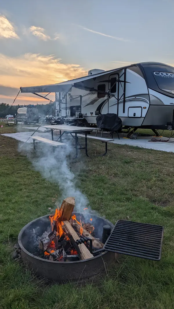
More federal campgrounds nearby
- Little Beaver Campground2.7 mi · National Park Service9 sites · RVs to 28 ft · Waterfront sites
- Twelvemile Beach Campground and Cabin6.7 mi · National Park Service37 sites · RVs to 37 ft · Waterfront sites
- Hurricane River Campground9.6 mi · National Park Service22 sites · RVs to 42 ft
- Grand Island Cabins18.8 mi · Forest Service
- Grand Island National Recreation Area18.9 mi · Forest Service18 sites · Waterfront sites
- Bay Furnace Campground21 mi · Forest Service49 sites · RVs to 65 ft · 1 pull-through
- Clear Lake Campsite22.5 mi · Forest Service1 site · RVs to 20 ft · 1 pull-through · Waterfront sites
- Colwell Lake Campground24.4 mi · Forest Service40 sites · 30 amp electric · RVs to 60 ft · 5 pull-through · Waterfront sites
Public recreation nearby
Trailheads, access points and public lands within 25 miles.
- Pictured Rocks National LakeshorePublic land · 0.6 mi to center · National Park ServiceDetails
- Miners Castle Visitor Contact StationVisitor center · 12.6 mi · National Park Service · Pictured Rocks National LakeshoreDetails
- Grand Sable Visitor CenterVisitor center · 15 mi · National Park Service · Pictured Rocks National Lakeshore
- Munising Falls Visitor CenterVisitor center · 17.9 mi · National Park Service · Pictured Rocks National LakeshoreDetails
- Kirtland's Warbler Wildlife Management AreaPublic land · 25.5 mi to center · Fish and Wildlife ServiceDetails
- Seney National Wildlife RefugePublic land · 28.7 mi to center · Fish and Wildlife ServiceDetails
Data Source: Recreation.gov


