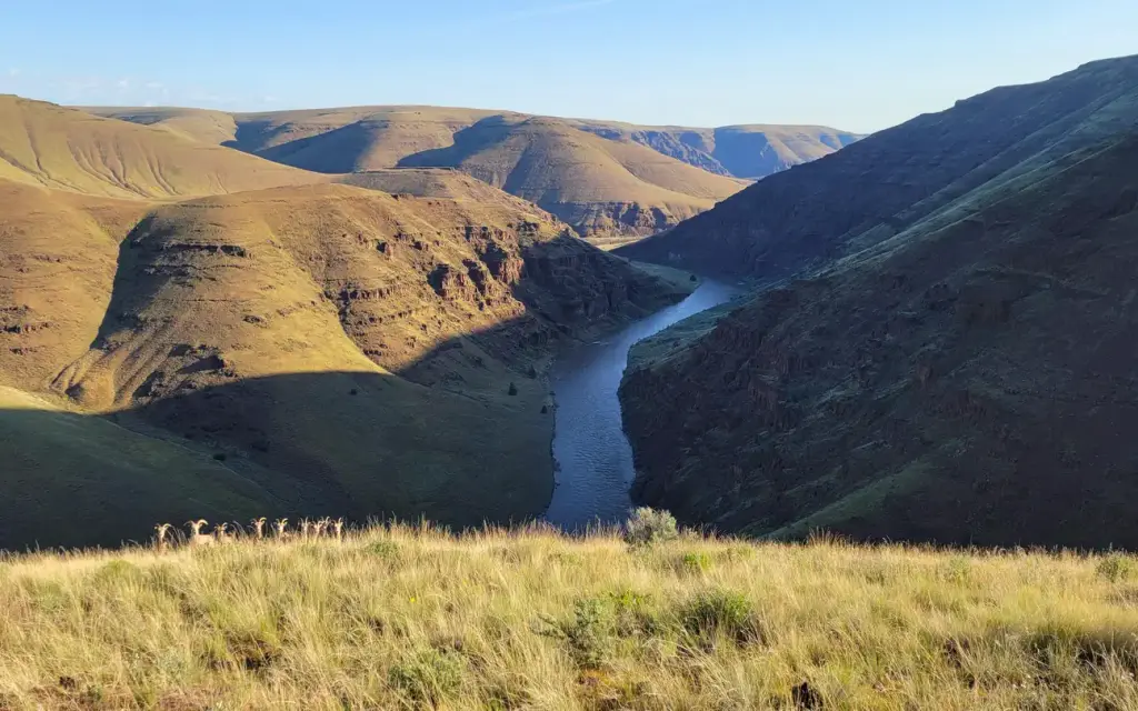
John Day Wild and Scenic River
John Day River Basin Developed Campgrounds
Campground21 sitesReservable
Photo: BLM
Site map
12 of 21 campsites at their real positions, from the agency's own site coordinates.
- Campsite
- Loop, in site-number order
Loading map…
About this campground
The Central Oregon Field Office of the Bureau of Land Management oversees four separate fee campgrounds within the John Day River Basin in Central Oregon. Service Creek and Muleshoe Campgrounds are located near Service Creek, Oregon along the John Day River and State Route 207.
Sites and hookups
- Campsites
- 21
- Waterfront sites
- 21
- Pets
- Allowed
- Booking
- Reservable on Recreation.gov
Amenities
- Vault toilets
More federal campgrounds nearby
Public recreation nearby
Trailheads, access points and public lands within 25 miles.
- John Day Fossil Beds National MonumentPublic land · 13 mi to center · National Park ServiceDetails
- Sutton Mountain and Pat's Cabin Wilderness Study AreasPublic land · 15.5 mi to center · BLMDetails
- Sutton Mountain Back Country BywayPublic land · 17.4 mi to center · BLMDetails
- Spring Basin WildernessPublic land · 19.7 mi to center · BLMDetails
- Thomas Condon Visitor CenterVisitor center · 24.1 mi · National Park Service · John Day Fossil Beds National MonumentDetails
- John Day Wild and Scenic RiverPublic land · 31.4 mi to center · BLMDetails
Data Source: Recreation.gov


