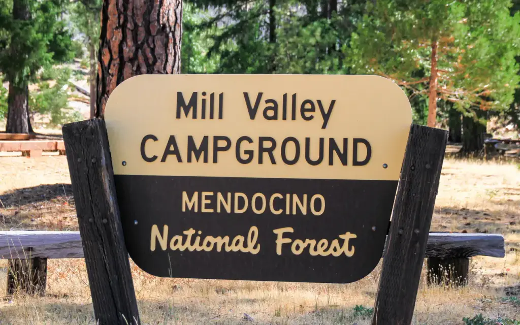
Photo: USFS
Loading map…
About this campground
Once on-site, you are able to pay for your campsite(s) by scanning a QR code using the Recreation.gov mobile app, and the Scan and Pay feature.
Sites and hookups
- Booking
- Reservable on Recreation.gov
More federal campgrounds nearby
- Letts Lake Campground1.1 mi · Forest Service42 sites
- Letts Lake Campground1.1 mi · Forest Service · First come
- Dixie Glade Campground1.2 mi · Forest Service7 sites
- Dixie Glade Campground1.2 mi · Forest Service · First come
- Mill Creek - Mendocino National Forest3.8 mi · Forest Service
- Mill Creek Campground3.8 mi · Forest Service · First come
- Gray Pine Group Campground3.9 mi · Forest Service1 site · RVs to 70 ft
- Fouts4.1 mi · Forest Service
Public recreation nearby
Trailheads, access points and public lands within 25 miles.
- East Park ReservoirPublic land · 11.5 mi to center · ReclamationDetails
- Indian Valley Management AreaPublic land · 15.4 mi to center · BLMDetails
- Indian Valley Recreation AreaPublic land · 15.4 mi to center · BLMDetails
- Stony Gorge ReservoirPublic land · 21.3 mi to center · ReclamationDetails
- North Cow Mountain Recreation AreaPublic land · 22.8 mi to center · BLMDetails
- South Cow Mountain OHV Management AreaPublic land · 25.8 mi to center · BLMDetails
- Cow Mountain Recreation Management AreaPublic land · 26.3 mi to center · BLMDetails
- Cache Creek Natural AreaPublic land · 27.3 mi to center · BLMDetails
Data Source: Recreation.gov


