Caribou-Targhee National Forest
Big Springs - Caribou
Campground16 sitesReservable
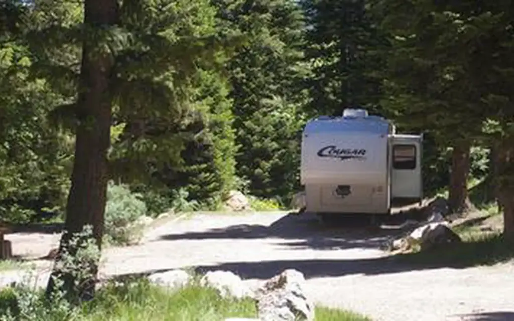
Photo: USDA Forest Service
Site map
16 campsites at their real positions, from the agency's own site coordinates.
- Campsite
- Loop, in site-number order
Loading map…
About this campground
Big Springs Campground is nestled along the banks of Pebble Creek at an elevation of 6,500 feet, just 16 miles from Lava Hot Springs, Idaho. Visitors enjoy fishing and exploring local trails.
Sites and hookups
- Campsites
- 16
- Sites by type
- 2 equestrian, 1 group
- Max RV length
- 70 ft
- Pull-through sites
- 1
- Accessible sites
- 10
- Pets
- Allowed
- Campfires
- Allowed
- Booking
- Reservable on Recreation.gov
Amenities
- Vault toilets
- Drinking water
- Camp host
More federal campgrounds nearby
- Pebble Guard Station0.3 mi · Forest Service
- Goodenough Creek Campground12.4 mi · BLM · First come
- Scout Mountain Campground14.3 mi · Forest Service14 sites · RVs to 70 ft · 1 pull-through
- Mink Creek Group Site Campground16.5 mi · Forest Service1 site · RVs to 50 ft · 1 pull-through
- Hawkins Reservoir Campground21.3 mi · BLM · First come
- Graves Creek Campground21.4 mi · BLM · First come
- Morgans Bridge Campground22 mi · BLM · First come
- Sage Hen Flats Campground22.3 mi · BLM · First come
Public recreation nearby
Trailheads, access points and public lands within 25 miles.
Data Source: Recreation.gov


