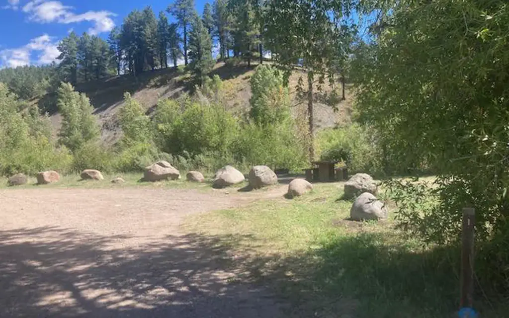
Photo: Mitchell Sylvain DM, Pagosa RD, San Juan NF
Site map
17 campsites at their real positions, from the agency's own site coordinates.
- Campsite
- Loop, in site-number order
Loading map…
About this campground
If this option is available, you will need to first download the free Recreation.gov mobile app https://www.recreation.gov/mobile-app prior to your arrival as some remote areas have limited or no cellular service.
Sites and hookups
- Campsites
- 17
- Booking
- Reservable on Recreation.gov
RV parks near Bridge
Nearest first, within 25 miles. Hookups are what each park lists.
More federal campgrounds nearby
- Williams Creek Campground2.6 mi · Forest Service60 sites · RVs to 45 ft · 8 pull-through · Waterfront sites
- Teal3.5 mi · Forest Service15 sites
- Cimarrona5.1 mi · Forest Service20 sites
- Palisades Horse Camp5.6 mi · Forest Service12 sites · RVs to 45 ft · 3 pull-through
- West Fork Campground16.2 mi · Forest Service27 sites · RVs to 45 ft · 8 pull-through
- Pine River17 mi · Forest Service
- Lower Piedra17.3 mi · Forest Service14 sites
- Ute Campground17.8 mi · Forest Service21 sites · RVs to 42 ft · 1 pull-through
Public recreation nearby
Trailheads, access points and public lands within 25 miles.
- Piedra Road Information StationVisitor center · 10 mi · Forest Service · San Juan National Forest
- East Fork Road Information StationVisitor center · 17.9 mi · Forest Service · San Juan National Forest
- Vallecito ReservoirPublic land · 21.1 mi to center · ReclamationDetails
Data Source: Recreation.gov


