Arkansas River - Wilbur D. Mills Pool
Notrebes Bend Park
Campground30 sites50 ampReservable
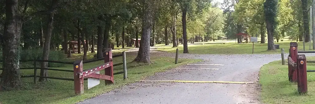
Photo: Corps Of Engineers
Site map
30 campsites at their real positions, from the agency's own site coordinates.
- Electric site
- Other site
- Loop, in site-number order
Loading map…
About this campground
This small, quiet campground contains 30 campsites and sits on the Arkansas River just below Wilbur D. Mills Dam. It is also along the Mississippi Flyway, the route millions of migratory birds take to get to and from the Gulf of Mexico.
Sites and hookups
- Campsites
- 30
- Electric hookups
- 30 sites, up to 50 amp
- Water hookups
- 30
- Max RV length
- 50 ft
- Pets
- Allowed
- Campfires
- Allowed
- Booking
- Reservable on Recreation.gov
Amenities
- Showers
- Drinking water
More federal campgrounds nearby
- Wilbur D. Mills0.6 mi · Army Corps21 sites · 30 amp electric · RVs to 60 ft
- Pendleton Bend3 mi · Army Corps31 sites · 50 amp electric · RVs to 70+ ft · 2 pull-through
- Merrisach Lake3.8 mi · Army Corps67 sites · 50 amp electric · RVs to 70+ ft · 1 pull-through
- Rising Star27.5 mi · Army Corps24 sites · 50 amp electric · RVs to 70+ ft
Public recreation nearby
Trailheads, access points and public lands within 25 miles.
- Arkansas River - Wilbur D. Mills PoolPublic land · 0.1 mi to center · Army CorpsDetails
- Arkansas Post National MemorialPublic land · 1.1 mi to center · National Park ServiceDetails
- Arkansas Post Visitor CenterVisitor center · 2.9 mi · National Park Service · Arkansas Post National MemorialDetails
- Arkansas River - Norrell PoolPublic land · 7.3 mi to center · Army Corps
- Arkansas River - Pool 3Public land · 24.4 mi to center · Army CorpsDetails
- Dahomey National Wildlife RefugePublic land · 30.1 mi to center · Fish and Wildlife ServiceDetails
Data Source: Recreation.gov


