Photo: USFS
Site map
11 campsites at their real positions, from the agency's own site coordinates.
- Campsite
- Loop, in site-number order
Loading map…
About this campground
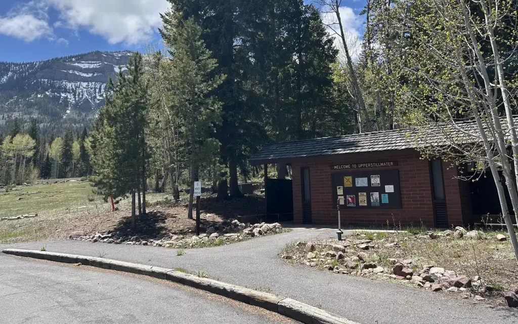
Upper Stillwater Campground is located below its namesake reservoir in the Rock Creek Drainage on the southern slope of the beautiful Uinta Mountains. Visitors enjoy fishing and exploring the popular Rock Creek Trail.
Sites and hookups
- Campsites
- 11
- Sites by type
- 1 group
- Max RV length
- 30 ft
- Campfires
- Allowed
- Booking
- Reservable on Recreation.gov
Amenities
- Flush toilets
- Drinking water
- Camp host
More federal campgrounds nearby
- Yellowpine3.7 mi · Forest Service17 sites · RVs to 30 ft
- Miners Gulch4.5 mi · Forest Service1 site · RVs to 24 ft
- Rock Creek Group5.1 mi · Forest Service1 site · RVs to 30 ft
- Aspen8.8 mi · Forest Service30 sites · RVs to 60 ft
- Hades9.3 mi · Forest Service14 sites · RVs to 30 ft · 5 pull-through
- Moon Lake Campground9.6 mi · Forest Service54 sites · RVs to 60 ft · 6 pull-through
- Iron Mine9.8 mi · Forest Service26 sites · RVs to 60 ft · 9 pull-through
- Moon Lake Guard Station9.9 mi · Forest Service
Public recreation nearby
Trailheads, access points and public lands within 25 miles.
- Ashley National ForestPublic land · 21 mi to center · Forest ServiceDetails
- East Fork Blacks Fork TrailheadTrailhead · 23.9 mi · Forest Service · Uinta-Wasatch-Cache National Forest
- Uinta-Wasatch-Cache National ForestPublic land · 24.7 mi to center · Forest ServiceDetails
Data Source: Recreation.gov


