Photo: USDA Forest Service
Site map
27 of 35 campsites at their real positions, from the agency's own site coordinates.
- Campsite
- Loop, in site-number order
Loading map…
About this campground
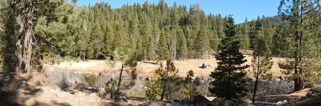
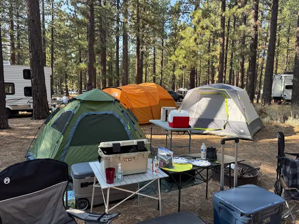
Silver Creek Campground is located on the Truckee River, off of Highway 89, between Truckee and Tahoe City. Visitors enjoy the area for its fishing and hiking opportunities, as well as its proximity to Lake Tahoe and Olympic Valley. This facility is operated and maintained by Lake Tahoe Hospitality LLC for the Tahoe National Forest.
Sites and hookups
- Campsites
- 35
- Sites by type
- 5 tent
- Max RV length
- 30 ft
- Pull-through sites
- 6
- Walk-in sites
- 7
- Pets
- Allowed
- Campfires
- Allowed
- Booking
- Reservable on Recreation.gov
Amenities
- Vault toilets
- Drinking water
- Food storage lockers
RV parks near Silver Creek-Truckee
Nearest first, within 25 miles. Hookups are what each park lists.
More federal campgrounds nearby
- Goose Meadows2.4 mi · Forest Service24 sites · RVs to 30 ft · 6 pull-through
- Granite Flat5.2 mi · Forest Service72 sites · RVs to 65 ft · 11 pull-through
- William Kent Campground6.3 mi · Forest Service81 sites · RVs to 57 ft
- Kaspian Campground7.9 mi · Forest Service9 sites
- Alpine Meadow Campground8 mi · Army Corps24 sites · RVs to 30 ft · 6 pull-through · Waterfront sites
- Prosser Family10.9 mi · Forest Service29 sites · RVs to 60 ft
- Prosser Ranch Group10.9 mi · Forest Service1 site · RVs to 20 ft · Waterfront sites
- Lakeside (Truckee)11.2 mi · Forest Service42 sites · RVs to 50 ft · 17 pull-through · Waterfront sites
Public recreation nearby
Trailheads, access points and public lands within 25 miles.
- Martis Creek LakePublic land · 8.6 mi to center · Army CorpsDetails
- Boca ReservoirPublic land · 13 mi to center · ReclamationDetails
- Stampede ReservoirPublic land · 17.7 mi to center · ReclamationDetails
- Lake Tahoe Basin Management UnitPublic land · 23.6 mi to center · Forest ServiceDetails
- Tahoe National ForestPublic land · 24.6 mi to center · Forest ServiceDetails
- Jumbo Grade TrailheadPublic land · 25.1 mi to center · BLMDetails
Data Source: Recreation.gov


