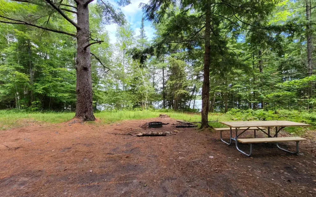
Photo: USFS-Hiawatha National Forest
Loading map…
About this campground
The Munising and Rapid River/Manistique Ranger Districts of the Hiawatha National Forest offer a variety of camping experiences. Many are located on inland lakes in a rustic forest environment with no drinking water. The rustic environment offers a wonderfully serene and peaceful setting for your next camping experience.
Sites and hookups
- Campsites
- 1
- Max RV length
- 24 ft
- Pull-through sites
- 1
- Waterfront sites
- 1
- Pets
- Allowed
- Campfires
- Allowed
- Booking
- Reservable on Recreation.gov
RV parks near Crooked Lake Campsite
Nearest first, within 25 miles. Hookups are what each park lists.
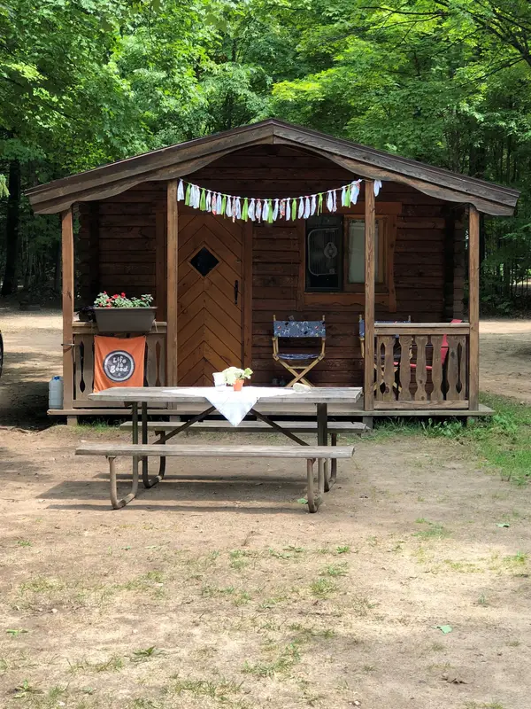
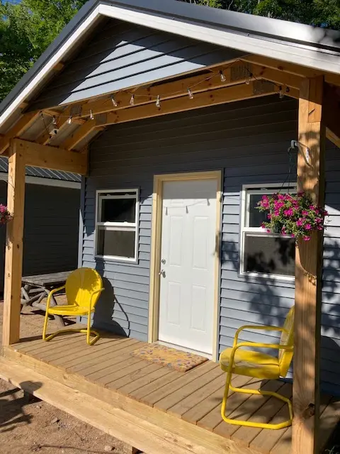
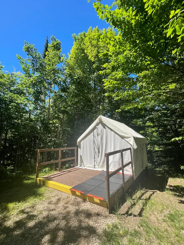
More federal campgrounds nearby
- Colwell Lake Campground0.4 mi · Forest Service40 sites · 30 amp electric · RVs to 60 ft · 5 pull-through · Waterfront sites
- Steuben Lake Campsites1.2 mi · Forest Service2 sites · RVs to 24 ft · 2 pull-through · Waterfront sites
- Clear Lake Campsite2.1 mi · Forest Service1 site · RVs to 20 ft · 1 pull-through · Waterfront sites
- East Lake Campsites2.8 mi · Forest Service3 sites · RVs to 40 ft · 3 pull-through · Waterfront sites
- Bass Lake Campsite3.4 mi · Forest Service1 site · RVs to 16 ft · 1 pull-through · Waterfront sites
- Little Bass Lake Campsites3.7 mi · Forest Service · First come
- Little Bass Lake Campsites3.9 mi · Forest Service5 sites · RVs to 24 ft · Waterfront sites
- Triangle Lake Campsites4.7 mi · Forest Service2 sites · RVs to 32 ft · 1 pull-through · Waterfront sites
Public recreation nearby
Trailheads, access points and public lands within 25 miles.
- Munising Falls Visitor CenterVisitor center · 17 mi · National Park Service · Pictured Rocks National LakeshoreDetails
- Miners Castle Visitor Contact StationVisitor center · 20 mi · National Park Service · Pictured Rocks National LakeshoreDetails
- Seney National Wildlife RefugePublic land · 22.1 mi to center · Fish and Wildlife ServiceDetails
- Kirtland's Warbler Wildlife Management AreaPublic land · 23.8 mi to center · Fish and Wildlife ServiceDetails
- Pictured Rocks National LakeshorePublic land · 24.6 mi to center · National Park ServiceDetails
Data Source: Recreation.gov


