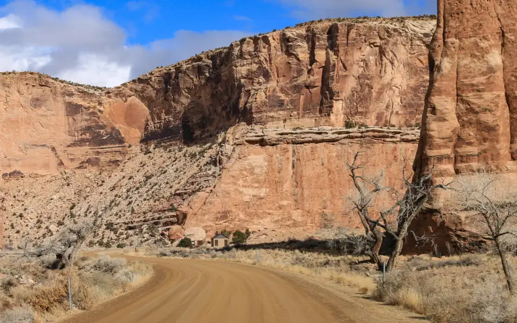
Photo: BLM/2024
Site map
32 campsites at their real positions, from the agency's own site coordinates.
- Campsite
- Loop, in site-number order
Loading map…
About this campground
Buckhorn Draw has multiple vault toilets and information stations along the main road. Individual campsites have picnic tables and fires rings.
Sites and hookups
- Campsites
- 32
- Sites by type
- 7 group
- Pull-through sites
- 21
- Pets
- Allowed
- Campfires
- Allowed
- Booking
- Reservable on Recreation.gov
More federal campgrounds nearby
- Sids Mountain Wilderness - The Wedge5.1 mi · BLM · First come
- San Rafael Swinging Bridge Campground7.4 mi · BLM22 sites · Waterfront sites
- Equestrian Campground7.4 mi · BLM · First come
- River Bend Campground27.8 mi · Forest Service1 site
- Lower Little Bear Campground28.4 mi · Forest Service1 site
- Little Bear Group28.7 mi · Forest Service2 sites · RVs to 35 ft
- Forks of Huntington32 mi · Forest Service8 sites · RVs to 30 ft · 1 pull-through · Waterfront sites
- Big Rock Group32.5 mi · Forest Service1 site · RVs to 40 ft · 1 pull-through
Public recreation nearby
Trailheads, access points and public lands within 25 miles.
- Emery Country Visitor CenterVisitor center · 2.5 mi · BLMDetails
- Cedar Mountain Day Use SiteDay-use area · 6.3 mi · BLMDetails
- Old Spanish National Historic TrailPublic land · 6.6 mi to center · BLMDetails
- Cleveland Lloyd Dinosaur QuarryPublic land · 11.1 mi to center · BLMDetails
- Bellevue Flats THTrailhead · 13 mi · BLM · Price Field OfficeDetails
- Huntington State ParkPublic land · 16.5 mi to center · UTDetails
- Mexican Mountain TrailheadTrailhead · 17.3 mi · BLMDetails
- Millsite State ParkPublic land · 24.6 mi to center · UTDetails
Data Source: Recreation.gov


