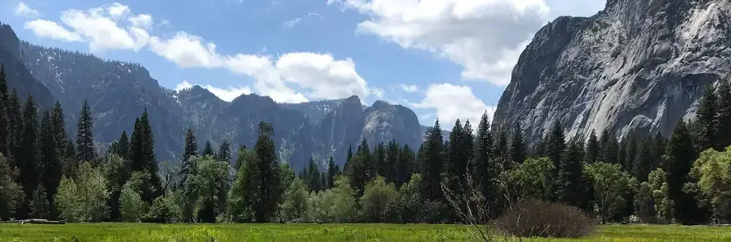
Photo: Eric Bissmeyer, NPS
Site map
74 of 75 campsites at their real positions, from the agency's own site coordinates.
- Campsite
- Loop, in site-number order
Loading map…
About this campground
Lower Pines campsites are available to reserve up to five months in advance on the 15th of each month at 7:00 a.m. PST. For example, on January 15, arrival dates for the period May 15 to June 14 become available to reserve, and therefore, the full arrival date window would be from the campground open date to June 14.
Sites and hookups
- Campsites
- 75
- Sites by type
- 12 RV
- Max RV length
- 40 ft
- Waterfront sites
- 3
- Accessible sites
- 5
- Pets
- Allowed
- Campfires
- Allowed
- Booking
- Reservable on Recreation.gov
Amenities
- Showers
- Flush toilets
- Drinking water
RV parks near Lower Pines Campground
Nearest first, within 25 miles. Hookups are what each park lists.
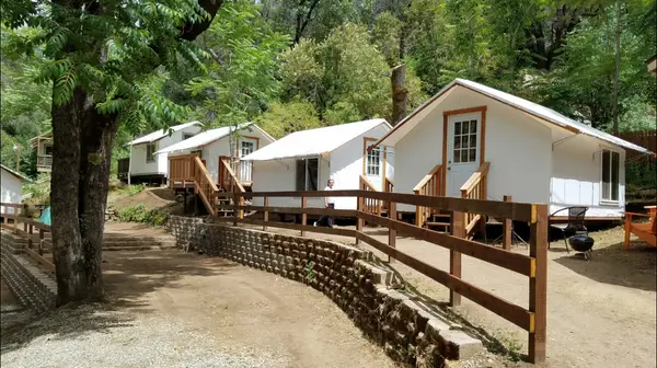
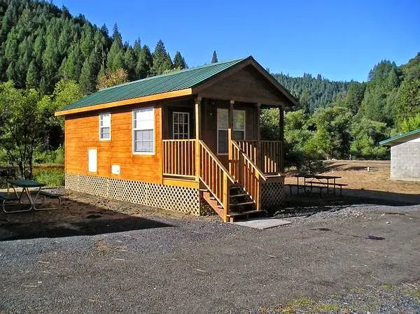
More federal campgrounds nearby
- North Pines Campground0.1 mi · National Park Service87 sites · RVs to 40 ft · Waterfront sites
- Upper Pines Campground0.4 mi · National Park Service240 sites · RVs to 35 ft
- Camp 42 mi · National Park Service62 sites
- Porcupine Flat Campground4.7 mi · National Park Service56 sites · RVs to 24 ft · 4 pull-through
- Yosemite Creek Campground6.2 mi · National Park Service76 sites · RVs to 20 ft
- Bridalveil Creek Campground6.2 mi · National Park Service107 sites · RVs to 35 ft · 1 pull-through
- Tamarack Flat Campground9.3 mi · National Park Service54 sites · RVs to 20 ft · 9 pull-through
- White Wolf Campground10 mi · National Park Service74 sites · RVs to 30 ft · 10 pull-through
Public recreation nearby
Trailheads, access points and public lands within 25 miles.
- Yosemite Valley Welcome CenterVisitor center · 1 mi · National Park Service · Yosemite National ParkDetails
- Yosemite National ParkPublic land · 7.5 mi to center · National Park ServiceDetails
- Tuolumne Meadows Visitor CenterVisitor center · 13.9 mi · National Park Service · Yosemite National ParkDetails
- Wawona Visitor Center at Hill's StudioVisitor center · 14.9 mi · National Park Service · Yosemite National ParkDetails
- Big Oak Flat Information StationVisitor center · 17.4 mi · National Park Service · Yosemite National ParkDetails
- Briceburg Visitor CenterVisitor center · 23.8 mi · BLM · Merced River Recreation Management AreaDetails
- Merced River Recreation Management AreaPublic land · 25.9 mi to center · BLMDetails
Data Source: Recreation.gov


