Photo: U.S. Army Corps Of Engineers
Site map
90 of 93 campsites at their real positions, from the agency's own site coordinates.
- Electric site
- Other site
- Loop, in site-number order
Loading map…
About this campground
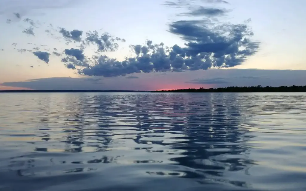
Left Tailrace Campgound at the U.S. Army Corps of Engineers - Big Bend Project, sits on the shore of Lake Francis Case on the Missouri River below Big Bend Dam. Just upstream of Left Tailrace, Lake Sharpe, a popular recreation destination in the Great Plains,was created by the completion of Big Bend Dam in 1966.
Sites and hookups
- Campsites
- 93
- Sites by type
- 12 tent
- Electric hookups
- 79 sites, up to 50 amp
- Max RV length
- 70+ ft
- Pull-through sites
- 44
- Waterfront sites
- 93
- Walk-in sites
- 12
- Accessible sites
- 3
- Pets
- Allowed
- Campfires
- Allowed
- Booking
- Reservable on Recreation.gov
Amenities
- Showers
Public recreation nearby
Trailheads, access points and public lands within 25 miles.
Data Source: Recreation.gov


