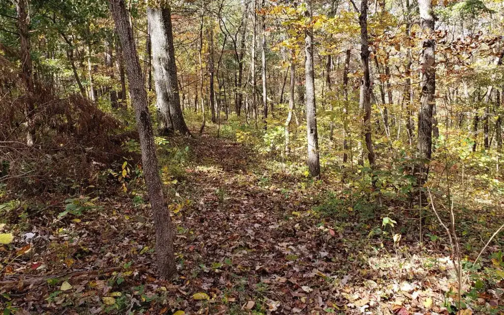
Photo: NPS Photo
Site map
56 of 58 campsites at their real positions, from the agency's own site coordinates.
- Campsite
- Loop, in site-number order
Loading map…
About this campground
In the rolling, forested landscapes around Pulltite, two of America's most beautiful spring-fed rivers combine to make up the Ozark National Scenic Riverways.
Sites and hookups
- Campsites
- 58
- Sites by type
- 3 group
- Water hookups
- 1
- Max RV length
- 60 ft
- Pull-through sites
- 1
- Waterfront sites
- 58
- Accessible sites
- 4
- Pets
- Allowed
- Campfires
- Allowed
- Booking
- Reservable on Recreation.gov
Amenities
- Showers
- Flush toilets
RV parks near Pulltite
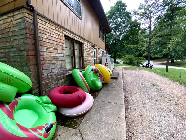
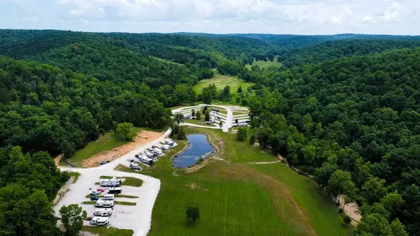
Nearest first, within 25 miles. Hookups are what each park lists.
More federal campgrounds nearby
- Round Spring5.4 mi · National Park Service64 sites · 50 amp electric · RVs to 60 ft · 23 pull-through · Waterfront sites
- Akers5.8 mi · National Park Service4 sites · Waterfront sites
- Loggers Lake Campground12.1 mi · Forest Service11 sites · RVs to 40 ft · Waterfront sites
- Alley Spring13.1 mi · National Park Service163 sites · 50 amp electric · RVs to 64 ft · 2 pull-through · Waterfront sites
- Two Rivers14.7 mi · National Park Service22 sites · RVs to 30 ft · Waterfront sites
Public recreation nearby
Trailheads, access points and public lands within 25 miles.
- Pulltite Ranger StationVisitor center · 0.3 mi · National Park Service · Ozark National Scenic RiverwaysDetails
- Round Spring Ranger StationVisitor center · 5.5 mi · National Park Service · Ozark National Scenic RiverwaysDetails
- Alley General StoreVisitor center · 12.7 mi · National Park Service · Ozark National Scenic RiverwaysDetails
- Ozark National Scenic RiverwaysPublic land · 18.3 mi to center · National Park ServiceDetails
Data Source: Recreation.gov


