Photo: USACE
Site map
67 campsites at their real positions, from the agency's own site coordinates.
- Electric site
- Other site
- Loop, in site-number order
Loading map…
About this campground
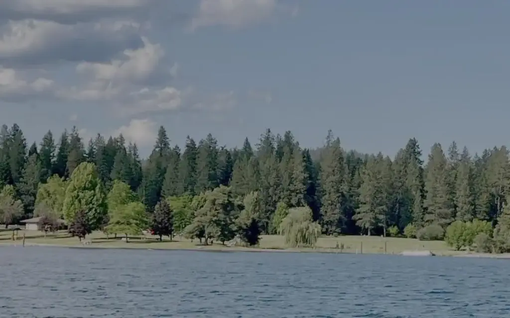
Riley Creek Recreation Area, situated on the banks of the Pend Oreille River, is the largest recreation area for the Albeni Falls Project, but still offers visitors peace and quiet and plenty of space to enjoy the scenic surroundings.
Sites and hookups
- Campsites
- 67
- Electric hookups
- 67 sites, up to 50 amp
- Water hookups
- 67
- Max RV length
- 48 ft
- Pets
- Allowed
- Campfires
- Allowed
- Booking
- Reservable on Recreation.gov
RV parks near Riley Creek
Nearest first, within 25 miles. Hookups are what each park lists.
More federal campgrounds nearby
- Priest River5.8 mi · Army Corps20 sites · RVs to 70+ ft · 8 pull-through
- Springy Point10.1 mi · Army Corps38 sites · RVs to 45 ft · 4 pull-through · Waterfront sites
- Albeni Cove10.7 mi · Army Corps14 sites · 30 amp electric · RVs to 70+ ft · Waterfront sites
- Pioneer Park13.6 mi · Forest Service17 sites · RVs to 40 ft · 1 pull-through
- Sam Owen22.8 mi · Forest Service80 sites · RVs to 60 ft · 6 pull-through · Waterfront sites
- Osprey24 mi · Forest Service16 sites · RVs to 64 ft · Waterfront sites
- South Skookum Lake25 mi · Forest Service25 sites · RVs to 54 ft
- Outlet at Priest Lake25.1 mi · Forest Service27 sites · RVs to 70 ft · Waterfront sites
Public recreation nearby
Trailheads, access points and public lands within 25 miles.
Data Source: Recreation.gov


