Cherokee National Forest
Thunder Rock Campground
Campground38 sites30 ampReservable
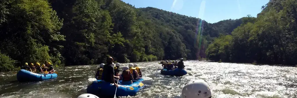
Photo: US Forest Service
Site map
38 campsites at their real positions, from the agency's own site coordinates.
- Electric site
- Other site
- Loop, in site-number order
Loading map…
About this campground
Thunder Rock Campground is located 1.8 miles northwest of the Ocoee Whitewater Center, just behind TVA Ocoee Powerhouse Number 3. Nestled alongside the Ocoee River, this facility provides 37 regular campsites for popups and RVs less than 20 feet with no elctricity , ONLY site 9 is an electric site for less than 20 feet at 30 amp, and one group campsite.
Sites and hookups
- Campsites
- 38
- Sites by type
- 3 tent, 1 group
- Electric hookups
- 1 site, up to 30 amp
- Waterfront sites
- 7
- Walk-in sites
- 4
- Pets
- Allowed
- Campfires
- Allowed
- Booking
- Reservable on Recreation.gov
Amenities
- Showers
- Flush toilets
More federal campgrounds nearby
- Parksville Lake RV Campground5.8 mi · Forest Service16 sites · 30 amp electric · 2 pull-through · Waterfront sites
- Chilhowee Group Camp8.8 mi · Forest Service1 site
- Chilhowee Campground8.8 mi · Forest Service61 sites · 50 amp electric · RVs to 70+ ft · 1 pull-through
- Cottonwood Patch Campground10.9 mi · Forest Service8 sites · 1 pull-through
- Cottonwood Patch Campground10.9 mi · Forest Service · First come
- Lost Corral Horse Camp11.8 mi · Forest Service
- Jacks River Fields Campground14.8 mi · Forest Service7 sites
- Jacks River Fields Campground14.8 mi · Forest Service · First come
Public recreation nearby
Trailheads, access points and public lands within 25 miles.
Data Source: Recreation.gov


