Site map
55 campsites at their real positions, from the agency's own site coordinates.
- Electric site
- Other site
- Loop, in site-number order
Loading map…
About this campground
Aunts Creek campground is located on the James River Arm of Table Rock Lake. With easy access to the highly productive waters of the James River Arm, fishermen and campers looking to fish, will find no shortage of angling opportunities.
Sites and hookups
- Campsites
- 55
- Sites by type
- 1 RV
- Electric hookups
- 49 sites, up to 50 amp
- Water hookups
- 21
- Max RV length
- 55 ft
- Pull-through sites
- 7
- Pets
- Allowed
- Campfires
- Allowed
- Booking
- Reservable on Recreation.gov
Amenities
- Showers
- Drinking water
- Dump station
- Playground
RV parks near Aunts Creek
Nearest first, within 25 miles. Hookups are what each park lists.
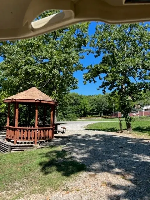
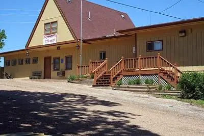
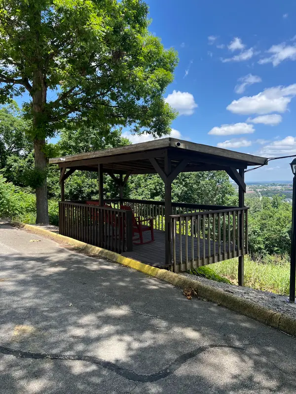
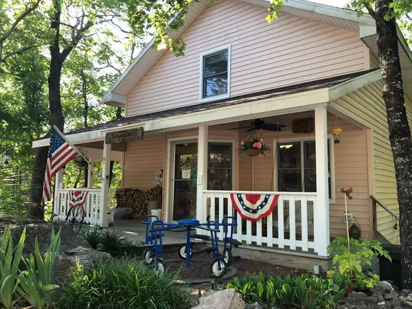
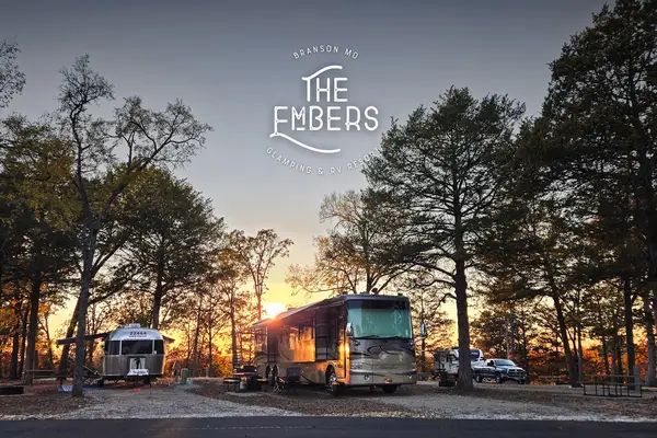
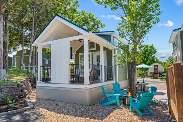
More federal campgrounds nearby
- Cape Fair5.2 mi · Army Corps46 sites · 50 amp electric · RVs to 70+ ft · 2 pull-through
- Mill Creek5.6 mi · Army Corps67 sites · 50 amp electric · RVs to 70 ft · 20 pull-through
- Indian Point6.9 mi · Army Corps83 sites · 50 amp electric · RVs to 60 ft · 12 pull-through
- Campbell Point7.4 mi · Army Corps72 sites · 1 full hookup · RVs to 70+ ft · 3 pull-through
- Baxter7.7 mi · Army Corps54 sites · 50 amp electric · RVs to 70 ft
- Viola10.8 mi · Army Corps51 sites · 50 amp electric · RVs to 70+ ft · 1 pull-through
- Old Highway 8611.1 mi · Army Corps77 sites · 50 amp electric · RVs to 66 ft · 2 pull-through
- Big M14.5 mi · Army Corps62 sites · 12 full hookup · RVs to 65 ft
Public recreation nearby
Trailheads, access points and public lands within 25 miles.
- Table Rock LakePublic land · 9.8 mi to center · Army CorpsDetails
- Dewey Short Visitor CenterVisitor center · 9.9 mi · Army Corps · Table Rock Lake
- Beaver LakePublic land · 27.9 mi to center · Army CorpsDetails
Data Source: Recreation.gov


