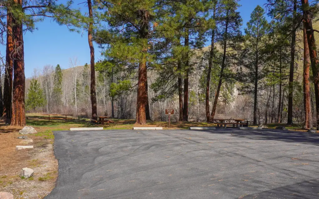
Photo: Joe Butsick/Bitterroot National Forest
Site map
9 of 11 campsites at their real positions, from the agency's own site coordinates.
- Campsite
- Loop, in site-number order
Loading map…
About this campground
Spring Gulch Campground is a well-maintained campground located about 50 feet from the highway, on the banks of the scenic Bitterroot River. Visitors enjoy a variety of recreational opportunities, including hiking, mountain biking, fishing and swimming.
Sites and hookups
- Campsites
- 11
- Sites by type
- 1 tent, 2 RV
- Max RV length
- 70+ ft
- Pull-through sites
- 1
- Waterfront sites
- 4
- Walk-in sites
- 1
- Accessible sites
- 1
- Booking
- Reservable on Recreation.gov
Amenities
- Vault toilets
- Drinking water
More federal campgrounds nearby
- Warm Springs Campground1.4 mi · Forest Service · First come
- Crazy Creek Campground3.9 mi · Forest Service · First come
- Medicine Point Lookout5.5 mi · Forest Service
- Twogood Cabin7 mi · Forest ServiceWaterfront sites
- Indian Trees Campground7.8 mi · Forest Service15 sites · RVs to 70+ ft · 3 pull-through
- Gordon Reese Cabin12.1 mi · Forest Service
- Hogan Cabin12.2 mi · Forest Service
- Rombo14 mi · Forest Service16 sites · RVs to 65 ft
Public recreation nearby
Trailheads, access points and public lands within 25 miles.
Data Source: Recreation.gov


