Photo: USFS
Site map
29 of 47 campsites at their real positions, from the agency's own site coordinates.
- Campsite
- Loop, in site-number order
Loading map…
About this campground
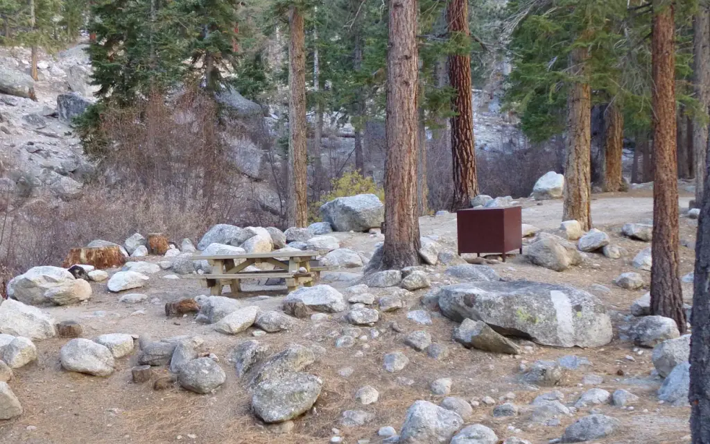
Whitney Portal Campground is in a prime location within the eastern Sierra Nevada Mountains - at the base of Mt. Whitney, the highest peak in the continental United States.
Sites and hookups
- Campsites
- 47
- Sites by type
- 16 tent, 3 group
- Max RV length
- 35 ft
- Pets
- Allowed
- Campfires
- Allowed
- Booking
- Reservable on Recreation.gov
Amenities
- Vault toilets
- Drinking water
- Food storage lockers
More federal campgrounds nearby
- Lone Pine2.6 mi · Forest Service28 sites · RVs to 50 ft · 1 pull-through
- Tuttle Creek Campground6 mi · BLM82 sites
- Grays Meadows12.9 mi · Forest Service52 sites · RVs to 40 ft
- Onion Valley14.3 mi · Forest Service30 sites · RVs to 25 ft
- Cold Springs Campground23.3 mi · National Park Service38 sites · RVs to 20 ft
- Atwell Mill Campground25.8 mi · National Park Service19 sites · RVs to 20 ft
- Moraine Campground27.4 mi · National Park Service117 sites · RVs to 66 ft · 3 pull-through
- Sheep Creek Campground27.4 mi · National Park Service108 sites · RVs to 70+ ft · 4 pull-through
Public recreation nearby
Trailheads, access points and public lands within 25 miles.
- Mobius Arch Loop TrailPublic land · 6 mi to center · BLMDetails
- Movie RoadPublic land · 6.7 mi to center · BLMDetails
- Bishop Field OfficePublic land · 7.6 mi to center · BLMDetails
- Alabama HillsPublic land · 7.6 mi to center · BLMDetails
- Manzanar National Historic SitePublic land · 10.3 mi to center · National Park ServiceDetails
- Manzanar Visitor CenterVisitor center · 10.5 mi · National Park Service · Manzanar National Historic SiteDetails
- Block 14Visitor center · 10.5 mi · National Park Service · Manzanar National Historic SiteDetails
- Inyo Mountains WildernessPublic land · 19.6 mi to center · BLMDetails
Data Source: Recreation.gov


