Caliente Springs Resort
About
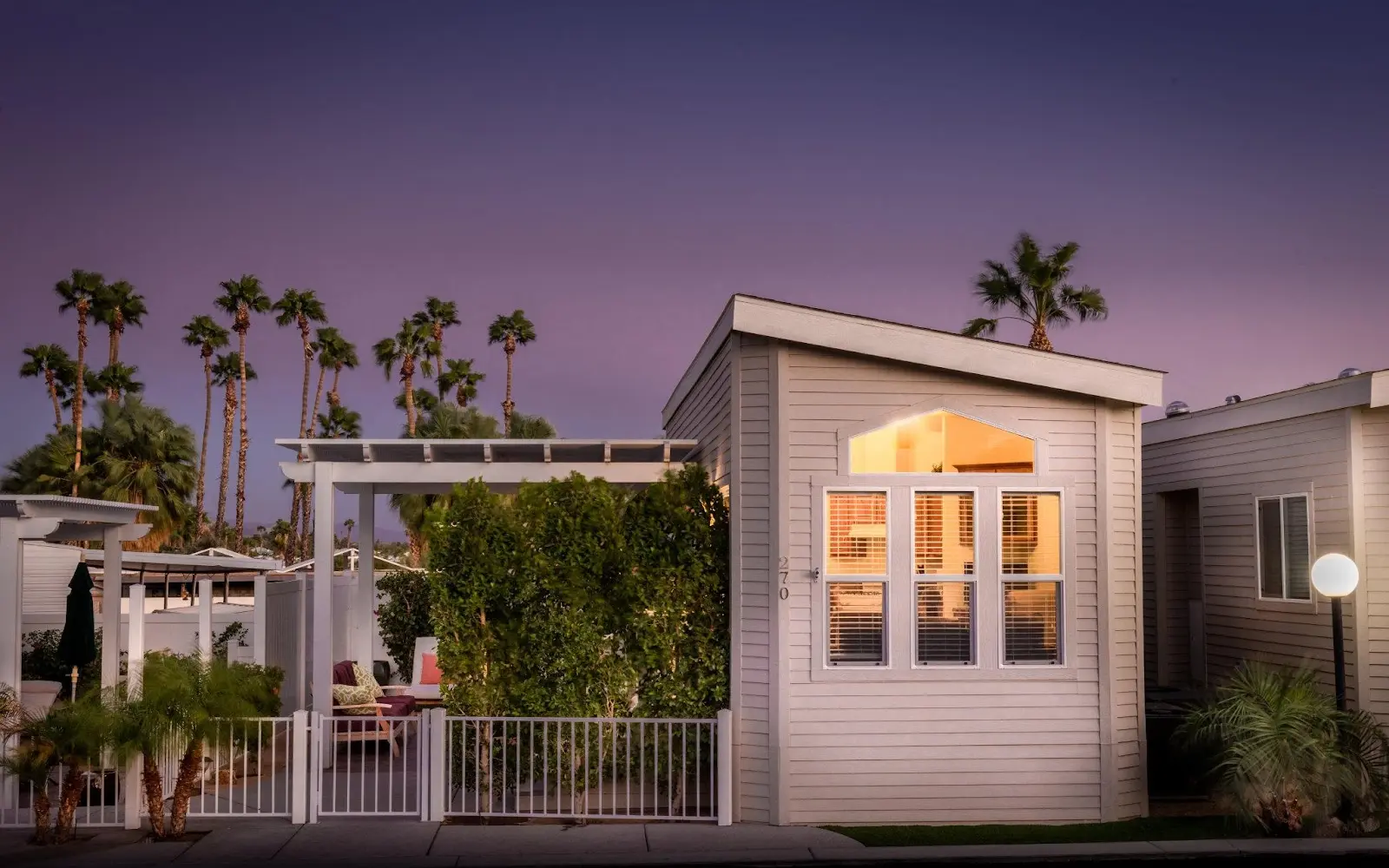
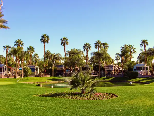
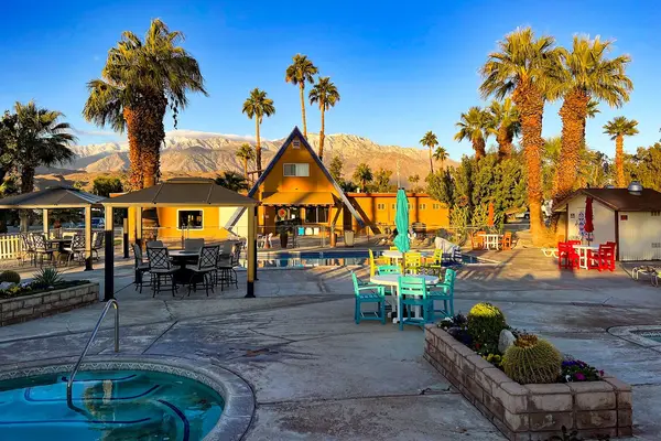
Gallery
Park details
- Amenities
- Restrooms, Showers
Camper reviews
Rating from Google.
Around here
Around Caliente Springs Resort
- Big Morongo Canyon PreserveRecreation area11.4 mi (opens in a new tab)
- San Gorgonio WildernessRecreation area14.2 mi (opens in a new tab)
- Sand to Snow National MonumentRecreation area14.6 mi (opens in a new tab)
- Joshua Tree Visitor CenterVisitor center15.9 mi (opens in a new tab)
- Palms to Pines Scenic BywayRecreation area17.7 mi (opens in a new tab)
- Lake CahuillaRecreation area22.6 mi (opens in a new tab)
Temperature from a 1980 federal survey. The record says nothing about access, ownership or current conditions.
- Black Rock Zone BackpackingBackcountry Camping · 2-15 Days10.6 mi (opens in a new tab)
- Maze Zone BackpackingBackcountry Camping · 2-15 Days15.3 mi (opens in a new tab)
- Juniper Flats Zone BackpackingBackcountry Camping · 2-15 Days16 mi (opens in a new tab)
- Boy Scout Trail Zone BackpackingBackcountry Camping · 2-15 Days16.4 mi (opens in a new tab)
- Attend a Keys Ranch TourGuided Tours · 90-120 Minutes17.3 mi (opens in a new tab)
- Pine City Zone BackpackingBackcountry Camping · 2-15 Days21.7 mi (opens in a new tab)
Data Source: Recreation.gov · Source: USGS GNIS · Thermal springs: NOAA NCEI (1980) · Source: National Park Service. No claim to original U.S. Government works. · Public land: USGS PAD-US · Forest roads: USDA Forest Service MVUM · BLM routes and areas: Bureau of Land Management (simplified for web display)
Current conditions
Today · Sat
85Go/ 100
ClearHigh 83°F, low 63°FRain 0%Wind 18 kt, gusts 27
Air quality
30 Good
Palm Springs monitor, 11 km
Forecast from Open-Meteo global models (NOAA & ECMWF). Air quality: South Coast AQMD via EPA AirNow. Preliminary data, not verified.
More RV parks in California
Also nearby
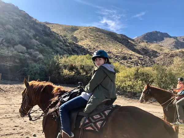
Other ways to get outside within about an hour of here.

Free tools