Site map
24 campsites at their real positions, from the agency's own site coordinates.
- Campsite
- Loop, in site-number order
Loading map…
About this campground
Dam Site Campground is situated below Fort Gibson Dam on the west bank of the Grand River in northeastern Oklahoma. The campground was severely damaged during the 2019 flood. None of the campsites offer water or electric. The campground is open for day use and primitive camping.
Sites and hookups
- Campsites
- 24
- Campfires
- Allowed
- Booking
- Reservable on Recreation.gov
RV parks near Dam Site (Fort Gibson Lake)
Nearest first, within 25 miles. Hookups are what each park lists.
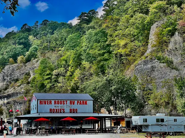
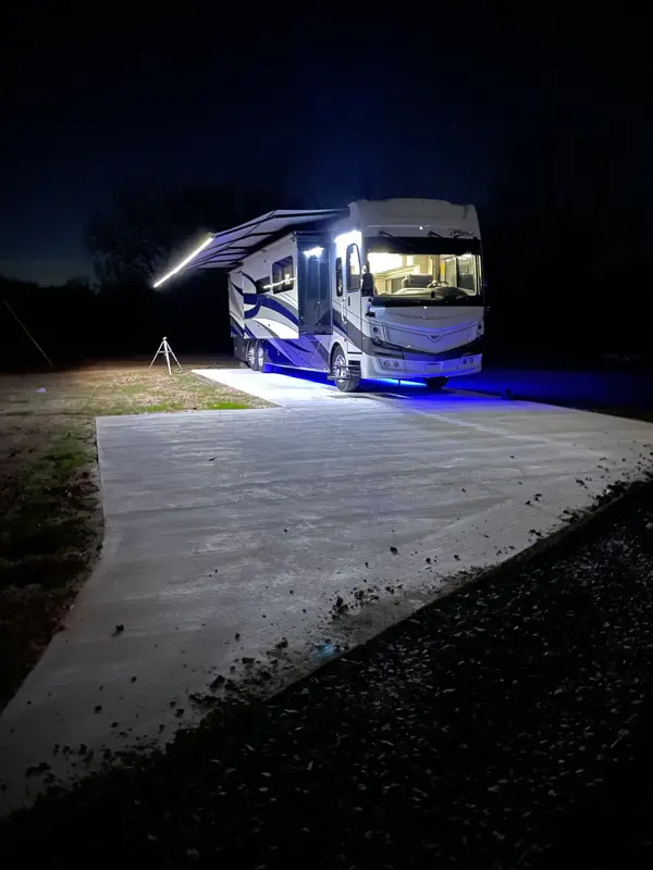
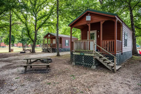
More federal campgrounds nearby
- Wahoo Bay3.2 mi · Army Corps20 sites · RVs to 26 ft · Waterfront sites
- Taylor Ferry5.4 mi · Army Corps91 sites · 50 amp electric · RVs to 50 ft · 8 pull-through
- Tullahasse Loop12 mi · Army Corps15 sites
- Rocky Point (Ft Gibson)12.8 mi · Army Corps62 sites · 2 full hookup · RVs to 70+ ft · 9 pull-through
- Flat Rock Creek13.3 mi · Army Corps31 sites · 50 amp electric · RVs to 38 ft · 1 pull-through
- Blue Bill Point13.4 mi · Army Corps40 sites · 50 amp electric · RVs to 50 ft · 4 pull-through
- Afton Landing15.7 mi · Army Corps22 sites · 50 amp electric · RVs to 55 ft · Waterfront sites
- Pettit Bay17.9 mi · Army Corps86 sites · 2 full hookup · RVs to 70+ ft · 3 pull-through
Public recreation nearby
Trailheads, access points and public lands within 25 miles.
- Jackson Bay MarinaMarina · 4.5 mi · Army Corps · Fort Gibson Lake
- Taylor Ferry MarinaMarina · 5.6 mi · Army Corps · Fort Gibson Lake
- Arkansas River - Chouteau Lock and DamPublic land · 7.9 mi to center · Army CorpsDetails
- Fort Gibson LakePublic land · 8 mi to center · Army CorpsDetails
- Arkansas River - Newt Graham PoolPublic land · 21.5 mi to center · Army CorpsDetails
- Tenkiller Ferry LakePublic land · 21.8 mi to center · Army CorpsDetails
- Arkansas River - Webbers Falls PoolPublic land · 22.1 mi to center · Army CorpsDetails
Data Source: Recreation.gov


