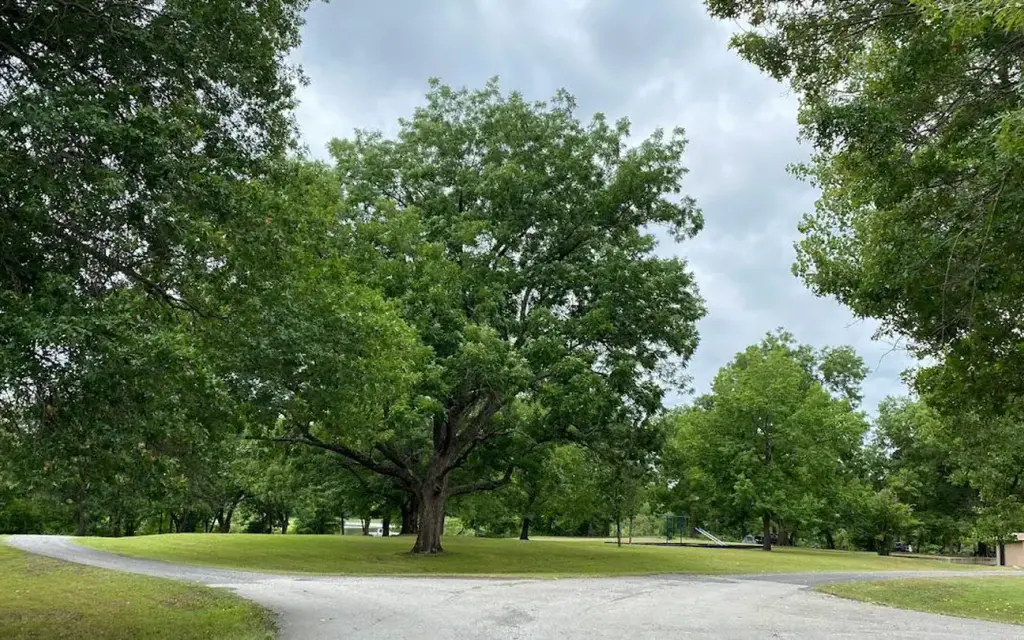
Arkansas River - Chouteau Lock and Dam
Tullahasse Loop
Campground15 sitesReservable
Photo: USACE
Loading map…
About this campground
Tullahasse Loop is located upstream of Chouteau Lock and Dam 17 on the McClellan-Kerr Navigation System approximately 9 miles Southwest of Wagoner, OK. Visitors can enjoy camping, picnicking, fishing, boating, kayaking or simply enjoying the scenic beauty the area has to offer.
Sites and hookups
- Campsites
- 15
- Pets
- Allowed
- Campfires
- Allowed
- Booking
- Reservable on Recreation.gov
Amenities
- Vault toilets
- Drinking water
- Playground
RV parks near Tullahasse Loop
Nearest first, within 25 miles. Hookups are what each park lists.
More federal campgrounds nearby
- Afton Landing5.2 mi · Army Corps22 sites · 50 amp electric · RVs to 55 ft · Waterfront sites
- Wahoo Bay8.9 mi · Army Corps20 sites · RVs to 26 ft · Waterfront sites
- Taylor Ferry9.6 mi · Army Corps91 sites · 50 amp electric · RVs to 50 ft · 8 pull-through
- Rocky Point (Ft Gibson)11 mi · Army Corps62 sites · 2 full hookup · RVs to 70+ ft · 9 pull-through
- Dam Site (Fort Gibson Lake)12 mi · Army Corps24 sites
- Blue Bill Point12.3 mi · Army Corps40 sites · 50 amp electric · RVs to 50 ft · 4 pull-through
- Flat Rock Creek12.7 mi · Army Corps31 sites · 50 amp electric · RVs to 38 ft · 1 pull-through
- Strayhorn Landing28.9 mi · Army Corps41 sites · 2 full hookup · RVs to 70+ ft
Public recreation nearby
Trailheads, access points and public lands within 25 miles.
- Arkansas River - Chouteau Lock and DamPublic land · 4.7 mi to center · Army CorpsDetails
- Jackson Bay MarinaMarina · 8.3 mi · Army Corps · Fort Gibson Lake
- Taylor Ferry MarinaMarina · 10.2 mi · Army Corps · Fort Gibson Lake
- Fort Gibson LakePublic land · 10.6 mi to center · Army CorpsDetails
- Arkansas River - Newt Graham PoolPublic land · 12.8 mi to center · Army CorpsDetails
- Arkansas River - Webbers Falls PoolPublic land · 28 mi to center · Army CorpsDetails
- Tenkiller Ferry LakePublic land · 30.8 mi to center · Army CorpsDetails
Data Source: Recreation.gov


