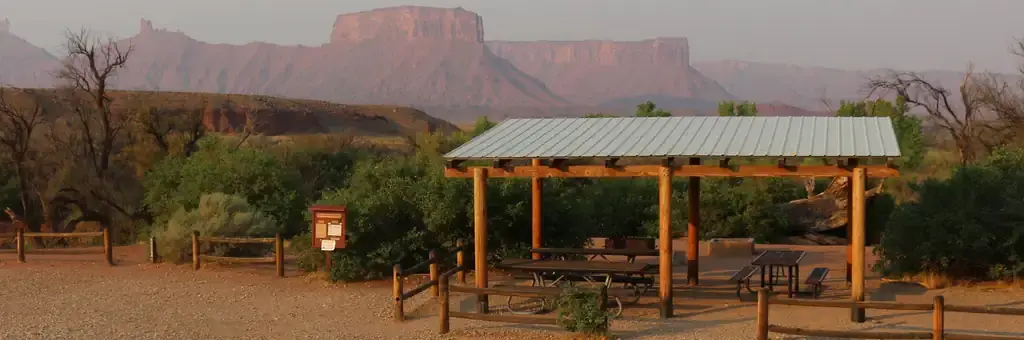
Photo: BLM Moab
Loading map…
About this group camp
The Lower Onion Creek Group Sites are located along the banks of the Colorado River. The sites are ideal for small family or group gatherings of 15-30 people (parking is limited and can accomodate only one large RV or truck w/trailer). Lower Onion is also a launch site for river trips.
Sites and hookups
- Sites by type
- 4 group
- Max RV length
- 40 ft
- Waterfront sites
- 4
- Pets
- Allowed
- Campfires
- Allowed
- Booking
- Reservable on Recreation.gov
Amenities
- Vault toilets
- Boat ramp
- Water access
- Trash pickup
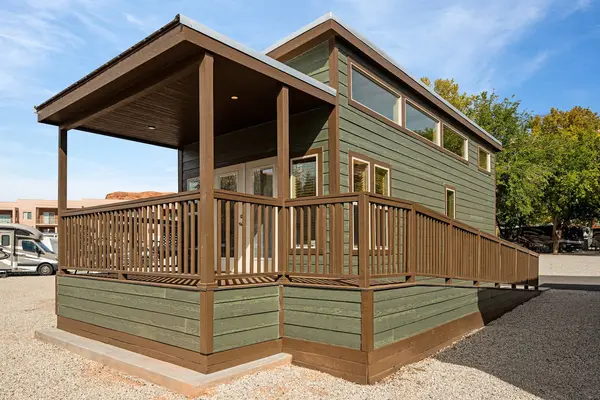
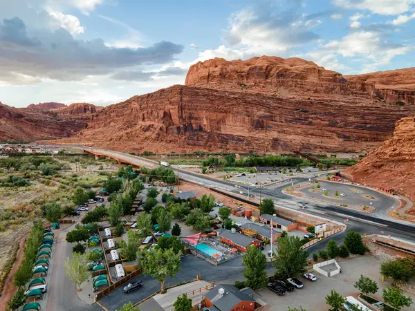
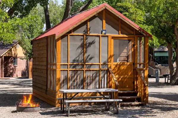
RV parks near Lower Onion Creek Group Sites
Nearest first, within 25 miles. Hookups are what each park lists.
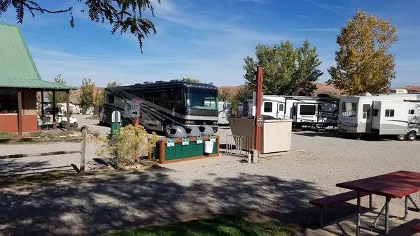
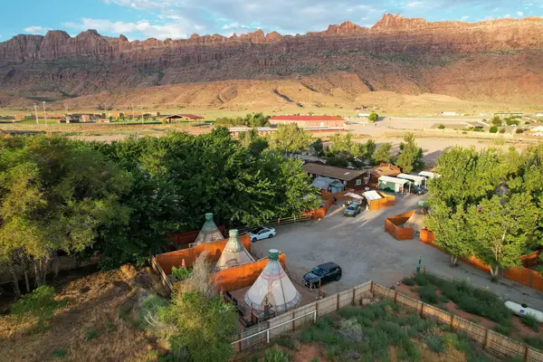
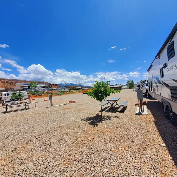
More federal campgrounds nearby
- Upper Onion Creek Group Site0 mi · BLM2 sites · RVs to 20 ft · 1 pull-through
- Lower Onion Creek Campground0.4 mi · BLM · First come
- Hittle Bottom Group Site2.1 mi · BLM1 site · RVs to 40 ft · Waterfront sites
- Dewey Bridge Group Sites5.5 mi · BLM3 sites · RVs to 50 ft · 3 pull-through · Waterfront sites
- Big Bend Group Sites9.3 mi · BLM3 sites · RVs to 20 ft · 2 pull-through · Waterfront sites
- Oak Grove Campground9.4 mi · BLM · First come
- Hal Canyon Campground9.5 mi · BLM · First come
- Upper Big Bend Campground9.6 mi · BLM · First come
Public recreation nearby
Trailheads, access points and public lands within 25 miles.
- Fisher Towers National Recreation TrailPublic land · 2.5 mi to center · BLMDetails
- Cowskin Camping AreaPublic land · 5.8 mi to center · BLMDetails
- Hideout Canyon Camping AreaPublic land · 9.3 mi to center · BLMDetails
- Big Bend CampgroundPublic land · 9.3 mi to center · BLMDetails
- Drinks Canyon Camping AreaPublic land · 10.3 mi to center · BLMDetails
- Drinks Canyon Camping AreaPublic land · 10.3 mi to center · BLMDetails
- Grandstaff CanyonPublic land · 11.2 mi to center · BLMDetails
- Arches National ParkPublic land · 12.7 mi to center · National Park ServiceDetails
Data Source: Recreation.gov


