Site map
164 campsites at their real positions, from the agency's own site coordinates.
- Electric site
- Other site
- Loop, in site-number order
Loading map…
About this campground
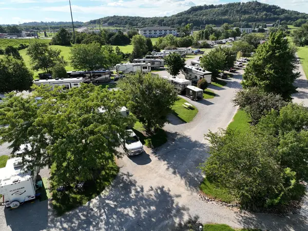
Moutardier Campground sits on the shores of Nolin River Lake in the rolling landscape of southern Kentucky. The large lake and surrounding greenery create a recreational oasis for outdoor enthusiasts. Click here to take a tour of our lake.
Sites and hookups
- Campsites
- 164
- Electric hookups
- 106 sites, up to 50 amp
- Water hookups
- 105
- Max RV length
- 70+ ft
- Pull-through sites
- 15
- Accessible sites
- 2
- Pets
- Allowed
- Campfires
- Allowed
- Booking
- Reservable on Recreation.gov
Amenities
- Showers
- Flush toilets
RV parks near Moutardier
Nearest first, within 25 miles. Hookups are what each park lists.
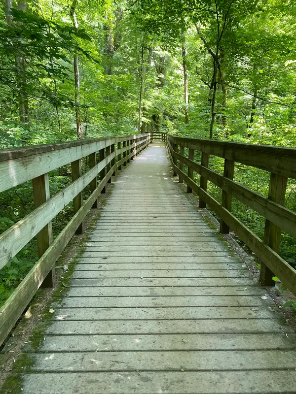
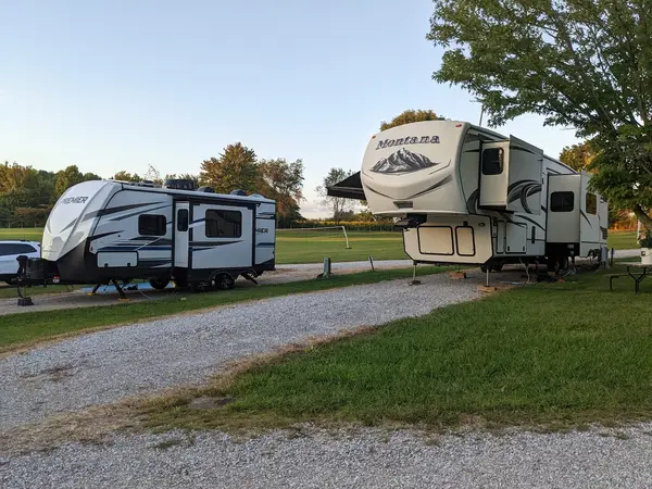
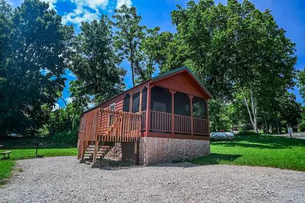
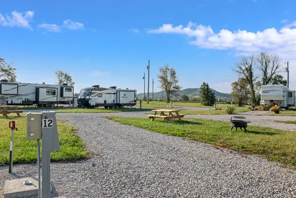
More federal campgrounds nearby
- Dog Creek5.7 mi · Army Corps68 sites · 50 amp electric · RVs to 70+ ft · 14 pull-through
- Wax6 mi · Army Corps · First come108 sites · 50 amp electric · RVs to 70+ ft · 13 pull-through
- Maple Springs9.4 mi · National Park Service7 sites · 50 amp electric · RVs to 50 ft · 4 pull-through
- Mammoth Cave Campground11.7 mi · National Park Service111 sites · RVs to 40 ft · 37 pull-through
- Cave Creek22.8 mi · Army Corps63 sites · 50 amp electric · RVs to 70+ ft · 7 pull-through · Waterfront sites
- Laurel Branch23.5 mi · Army Corps61 sites · 50 amp electric · RVs to 70+ ft · 4 pull-through · Waterfront sites
- Axtel24.3 mi · Army Corps153 sites · 3 full hookup · RVs to 70+ ft · 2 pull-through · Waterfront sites
- North Fork24.4 mi · Army Corps79 sites · 50 amp electric · RVs to 70+ ft · Waterfront sites
Public recreation nearby
Trailheads, access points and public lands within 25 miles.
- Nolin River LakePublic land · 2.8 mi to center · Army CorpsDetails
- Mammoth Cave National ParkPublic land · 9.9 mi to center · National Park ServiceDetails
- Mammoth Cave Visitor CenterVisitor center · 11.5 mi · National Park Service · Mammoth Cave National ParkDetails
- Forrl Visitor CenterVisitor center · 25.1 mi · Army Corps · Rough River Lake
- Rough River LakePublic land · 25.6 mi to center · Army CorpsDetails
Data Source: Recreation.gov


