California
Big Sur Coast Drive
About this scenic drive
The Big Sur stretch of Highway 1 is the archetypal American coast drive: a two-lane road pinned between the Santa Lucia range and a thousand-foot drop to the Pacific. Forty miles sounds short until you account for how often you will stop. It is also a road that closes. Slides take out sections for months at a time, so confirming the current status before you commit a large vehicle to it is part of the planning, not an afterthought.
Highway 1 down the California coast: Carmel, the Bixby Bridge, and McWay Falls.
Highlights
What earns the trip
- Bixby Creek Bridge, the most photographed span on the West Coast
- McWay Falls drops straight onto the beach at Julia Pfeiffer Burns
- Point Sur Light Station is visible for miles in both directions
- Redwood canyons a few hundred yards inland from open ocean
Stops
- 1
Carmel-by-the-Sea
Northern end, the last full services before the coast road.
- 2
Bixby Creek Bridge
The 1932 open-spandrel arch with pullouts at both ends.
- 3
McWay Falls
Short walk from the highway to the overlook.
When to go
Best time to go
September and October bring the clearest skies. Summer mornings are usually fogged in.
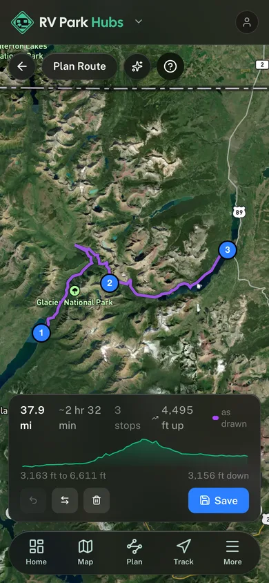
Planner estimate for the mapped line: 2h 35m
Before you go
Know before you go
- Check the current Highway 1 closure status before you go. Slide closures here last months, not days.
- Turnouts are short and the shoulders are narrow. Long rigs should plan stops in advance.
- Fuel and cell service are sparse for the whole stretch.
More scenic drives
Browse all routes